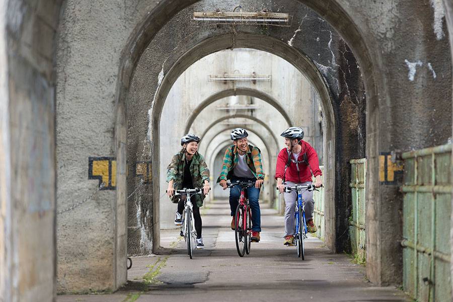
Iiyama to Sakae Village Route
Visit hot springs, tourist spots, and a famous temple on your way to the northernmost village in Nagano Prefecture.
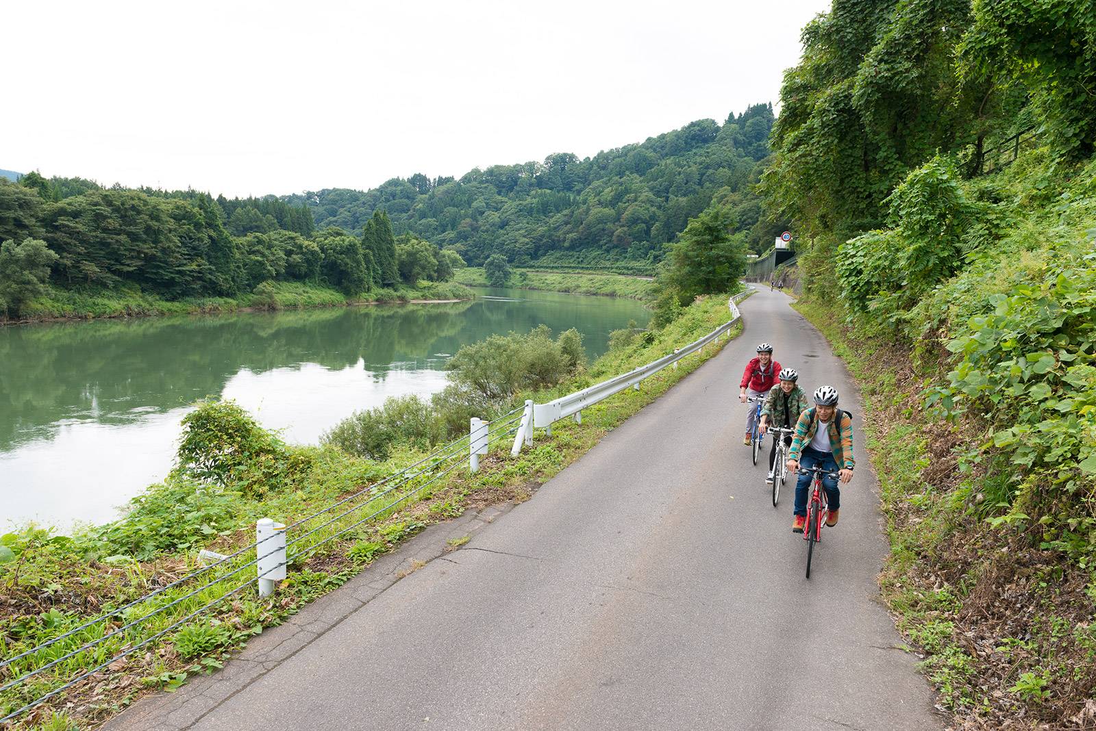
The Iiyama to Sakae Village Route is a 32-km route starting from Iiyama station and going to Sakae Village,
located in the northernmost part of Nagano Prefecture and on the border of Niigata Prefecture, and is the
perfect route for those who want to enjoy a full day of cycling. It is particularly enjoyable for groups and
families with children in middle school or above.
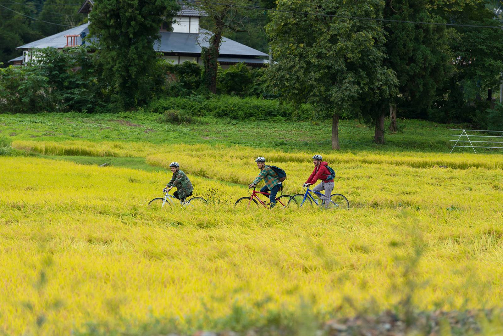
The highlight of this route is the Old National Route 117 starting from Togari-Nozawaonsen Station. The road
is quite narrow and far from straight, so it is not really the shortest nor quickest route, but there are no
traffic lights and very little traffic, so it’s a route that‘s ideal for cycling. Amazing experiences await,
such as riding alongside both the idyllic JR Iiyama Line and the Chikuma River, the greatest river in Japan.
| DISTANCE | 32.6km |
|---|---|
| RECOMMEND TO | Families, groups, couples |
| TIME REQUIRED | 5hours |
| START | Iiyama station |
| GOAL | Morimiyanohara station |
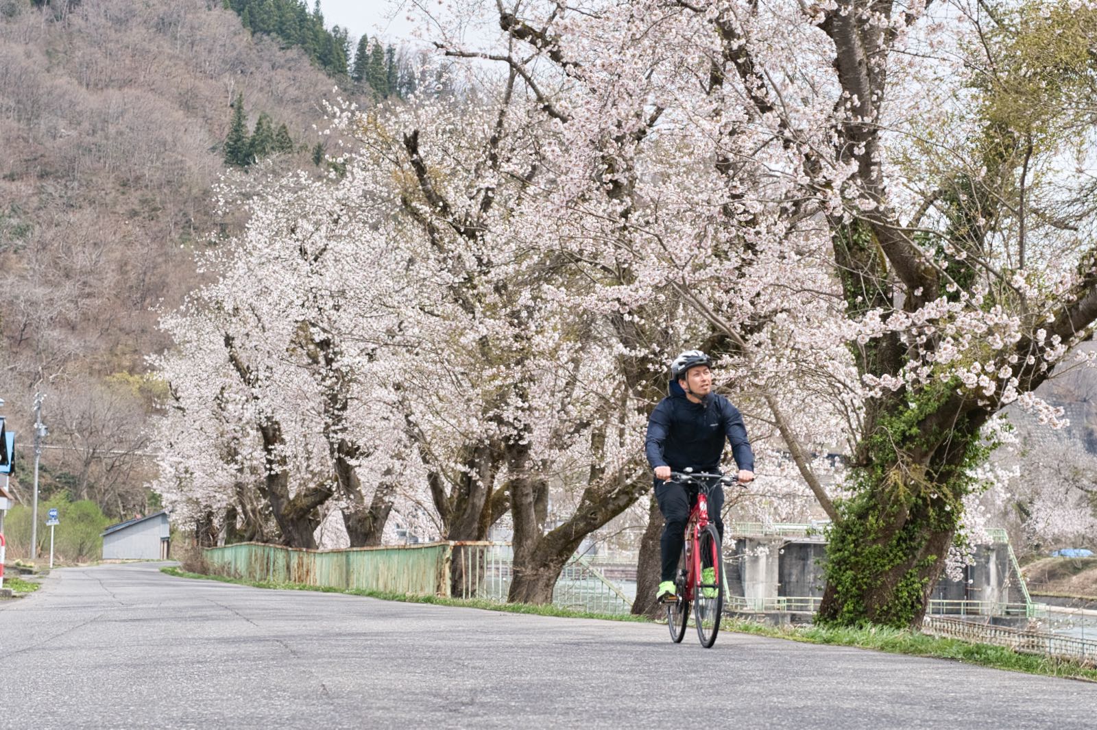
Going along the Old National Route 117 brings you to the Iiyama Yutaki Onsen, on
the banks of the Chikuma River. Do make a stop here, as there are open-air hot springs with a view of the
Chikuma River, as well as restaurants with menus that boast locally grown ingredients. You can also drop your
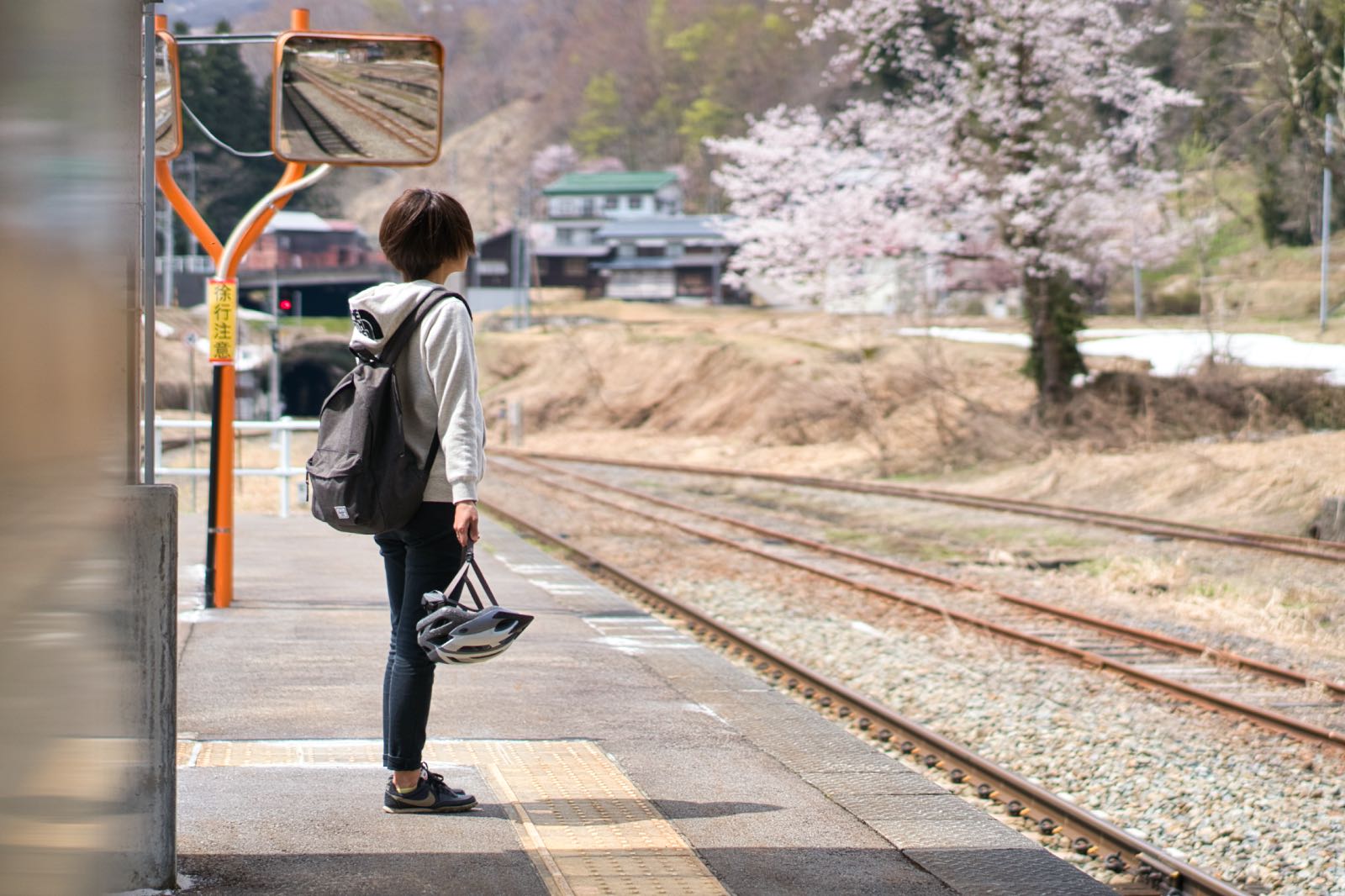
rental bikes off here, so you can enjoy the hot springs and a nice meal, then take a short walk to Kamisakai
Station and return to Iiyama Station by train.
Go further, and cross the Degawa Bridge, completed in 1950. If you look carefully, you’ll notice that the
railing, you’ll see a tablet bearing the legend of “National Route 10”, which was recognized in the Taisho Era,
indicating that this used to be the National Route linking Tokyo to Akita. The Nishiotaki
Dam, up ahead, allows you to ride your bike on top, which is rare. It’s on the top of a slope that is
just off the route, but it’s worth making a detour for!
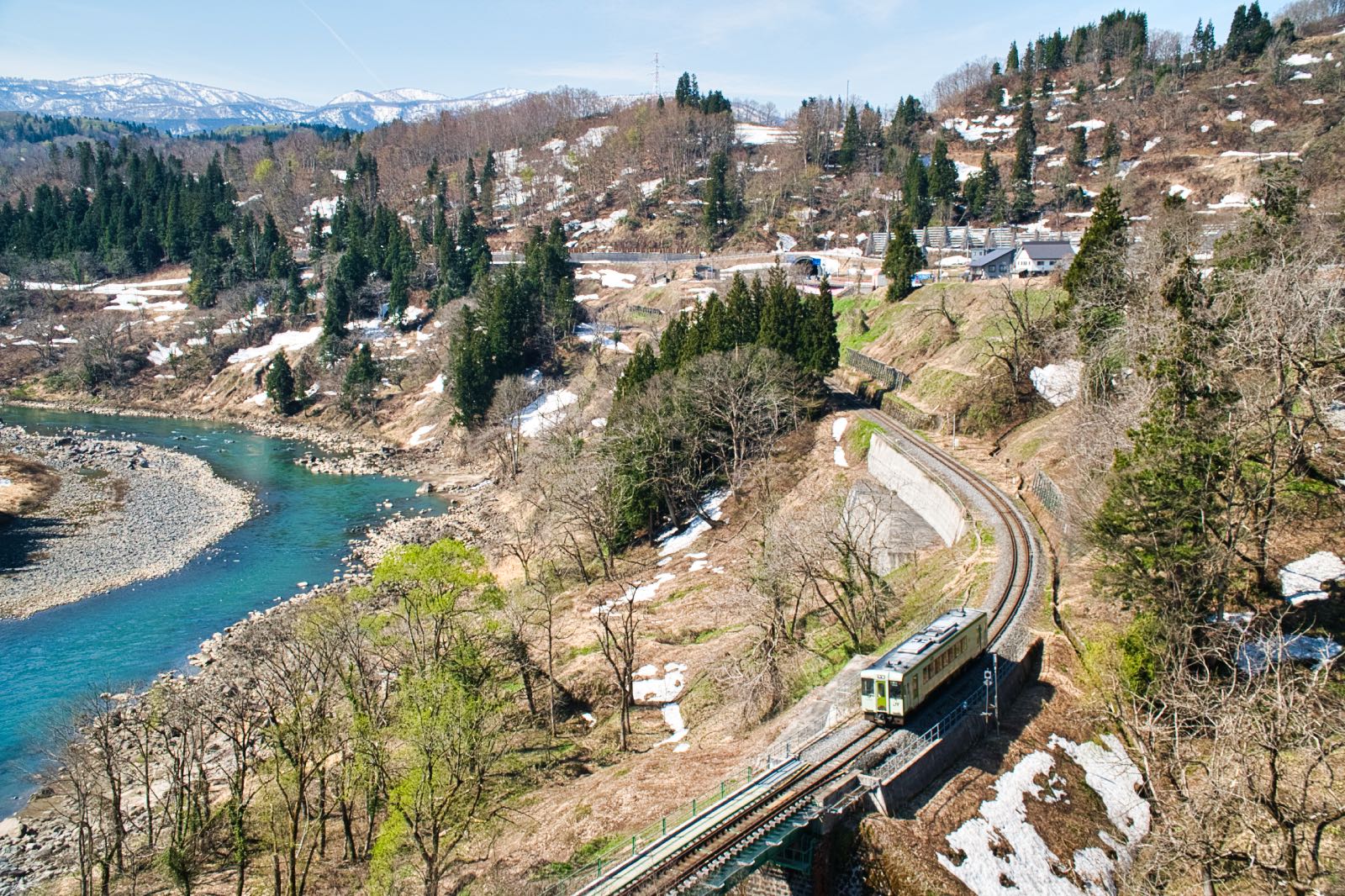
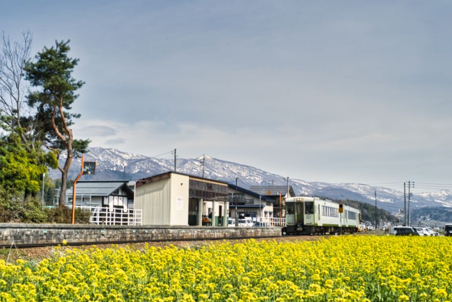
Once past the dam, the route moves closer to the Iiyama Line, so that you’ll be riding just alongside the tracks at Shinano-Shiratori Station. The diesel trains characteristic of the snow country do not have any overhead lines, and fit seamlessly into the landscape. Don’t forget to check the train schedules in advance, as there are only a few trains every day. If possible, make a detour to stop by the famous Buddhist temple of Jōkei-in. The great structures of the Mountain Gate (Sanmon) and the Nio-mon Gate are particularly breathtaking, and create a dramatic contrast with the idyllic pastoral landscape surrounding them. The rice paddies spreading along the Chikuma River, the steeply angled corrugated metal roofs, and the villages with ponds called tane hint at what life must be like in area with heavy snowfalls.
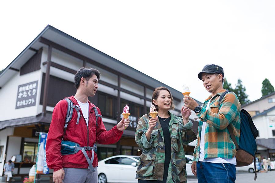
If you’ve got this far, it’s just a little further to the goal of Mori-Miyanohara Station. You can drop your rented bikes off at the tourist information center within the Earthquake Recovery Memorial Hall 'Kizuna', near the station, so you can choose how to enjoy your trip!
Shops and points of interest along route

Iiyama Yutaki Onsen
- Phone
- 0269-65-3454
Shinanotaira Station
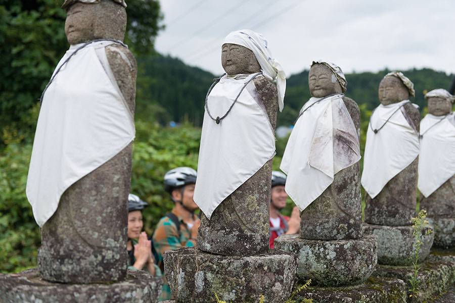
Roku-jizo
Nishi-otaki Dam
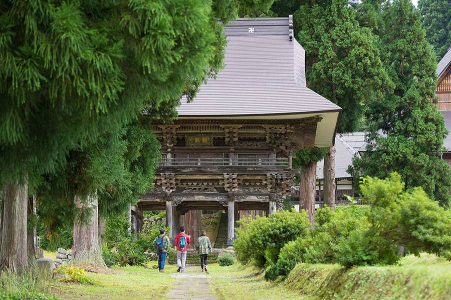
Jokei-in Temple
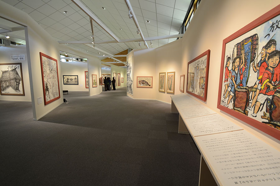
Sakae International Illustrated Letter Time Capsule Museum / Yamaji Tomoe Illustrated Letter Museum
Reservations are required by the day before.
Closed on Saturday, Sunday, public holidays and for Winter (Dec-Apr).
- Phone
- 0269-87-1920
Roadside Station Shin’etsu Sakae
*Shop closed: Every Tuesday
- Phone
- 0269-87-3180
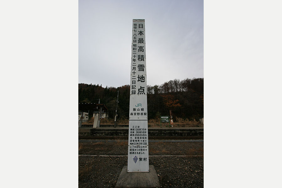
Marker indicating Japan’s highest snowfall
Drop off Station
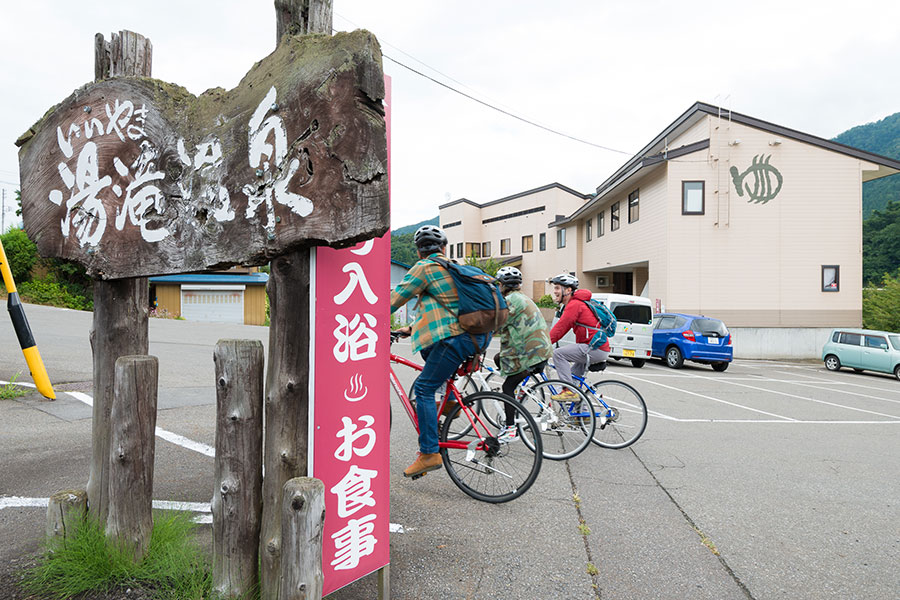
Iiyama Yutaki Onsen
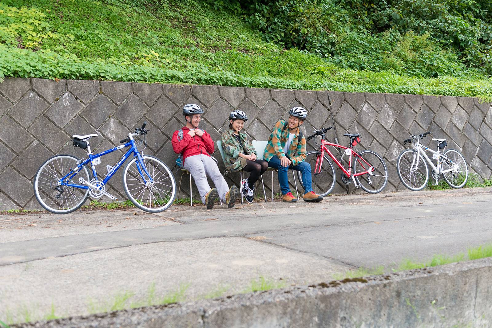
The route is mostly flat and recommended for cycling beginners.
Spring spa beside Chikuma river is
wonderful! You can get back from Kamizakae station to Iiyama station by local train
- Phone
- 0269-65-3454
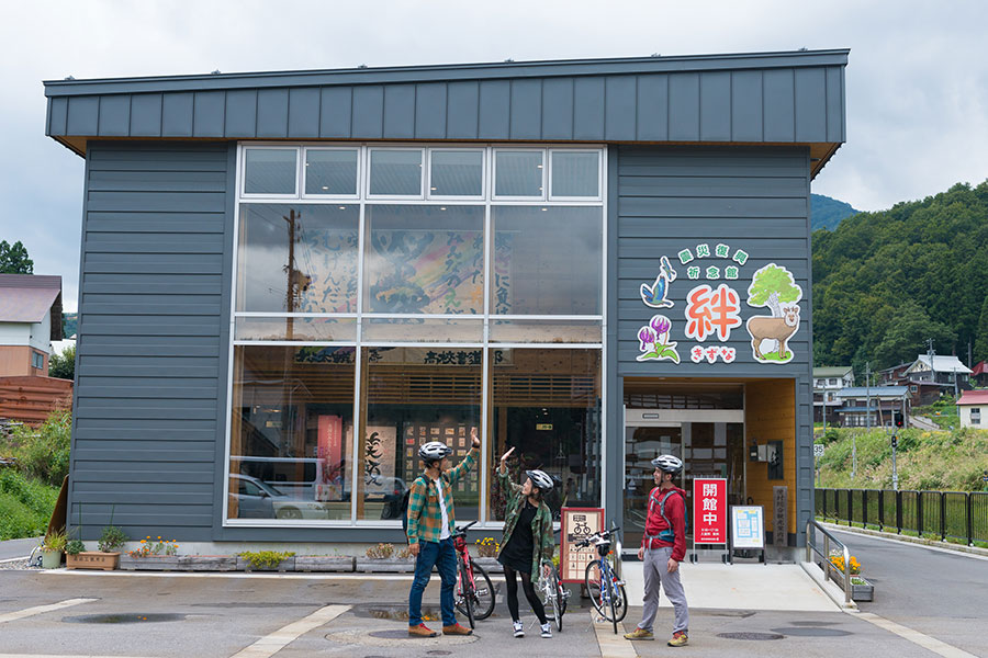
Sakae Earthququake Recovery Memorial Hall Kizuna
It is a long cycling going along with the relaxing flowing Chikuma river
Returning on a local line,
feeling relaxed!
- Phone
- 0269-87-2200
Recommended bicycles
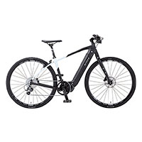
| GEAR | SIZE | PRICE | SPEC | |
|---|---|---|---|---|
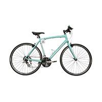 |
Cross bike | S.M.L (height 150cm-185cm) |
Half a day: 2,000yen 1day: 3,000yen |
Cross bike is lightweight, designed to be ridden on off-road, unpaved and paved roads at relatively high speed. It's great for long rides.We have the mont-bell's & bianch's. |
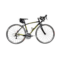 |
Road Bicycle | M.L (height 156-167cm,169-178cm) |
Half a day: 3,500yen 1day: 4,000yen |
Road bicycle is of a lightweight construction and for traveling at speed on paved roads. It's great for long rides and clibming hills. |
|
Elecric cross bike | S.M.L (height 145-165cm/155-175cm/160-180cm) |
Half a day: 3,000yen 1day: 4,000yen |
Electric cross bike is great for long rides and climbing steep
hills. The battery will last for maximum of 115 km. |